The Albion Public House, Faversham
Introduction
The photograph on this page of The Albion Public House, Faversham by David Anstiss as part of the Geograph project.
The Geograph project started in 2005 with the aim of publishing, organising and preserving representative images for every square kilometre of Great Britain, Ireland and the Isle of Man.

There are currently over 7.5m images from over 14,400 individuals and you can help contribute to the project by visiting https://www.geograph.org.uk
The Albion Public House, Faversham
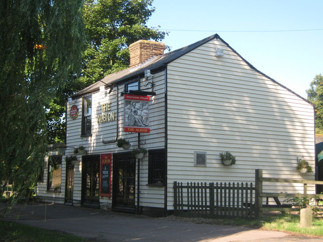
Image: © David Anstiss Taken: 28 Aug 2010
On the Front Brents, opposite the Faversham Creek. Also has the Albion Taverna restaurant within. Also the Saxon Shore Way (long distance path) passes the pub on its way along the Faversham Creek.
Images are licensed for reuse under creativecommons.org/licenses/by-sa/2.0
Image Location
Latitude
51.319404
Longitude
0.891313