Top of the Spetchells, west end, Tyne Riverside
Introduction
The photograph on this page of Top of the Spetchells, west end, Tyne Riverside by Andrew Curtis as part of the Geograph project.
The Geograph project started in 2005 with the aim of publishing, organising and preserving representative images for every square kilometre of Great Britain, Ireland and the Isle of Man.

There are currently over 7.5m images from over 14,400 individuals and you can help contribute to the project by visiting https://www.geograph.org.uk
Top of the Spetchells, west end, Tyne Riverside
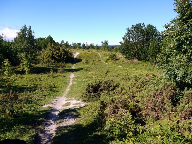
Image: © Andrew Curtis Taken: 29 Aug 2010
Erosion of the paths, rabbit burrows and mole hills reveal the underlying chalk. Bird-sown Cotoneaster is also colonising the grassland here as it does on the chalk grasslands of southern England, where it smothers native species.
Images are licensed for reuse under creativecommons.org/licenses/by-sa/2.0
Image Location


Leaflet Map data © OpenStreetMap
Latitude
54.969906
Longitude
-1.856573