Pennings Farmhouse and buildings, nr Coombe Bissett
Introduction
The photograph on this page of Pennings Farmhouse and buildings, nr Coombe Bissett by Peter Facey as part of the Geograph project.
The Geograph project started in 2005 with the aim of publishing, organising and preserving representative images for every square kilometre of Great Britain, Ireland and the Isle of Man.

There are currently over 7.5m images from over 14,400 individuals and you can help contribute to the project by visiting https://www.geograph.org.uk
Pennings Farmhouse and buildings, nr Coombe Bissett
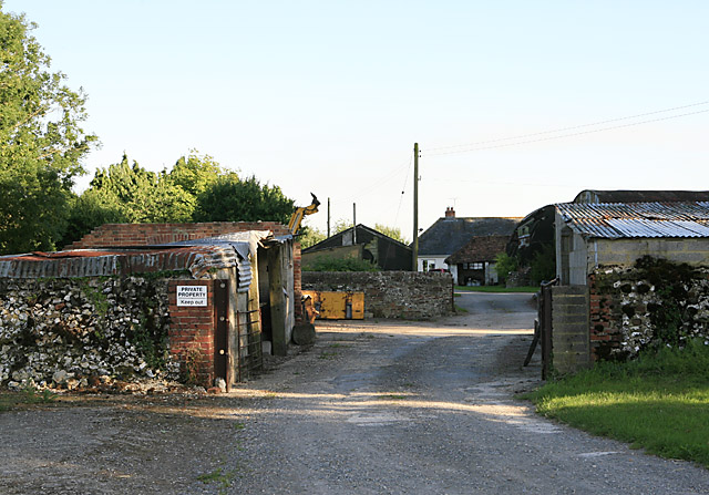
Image: © Peter Facey Taken: 15 Jul 2006
These rather ramshackle buildings, plus the house, are to the south of Image and all comprise Pennings Farm.
Images are licensed for reuse under creativecommons.org/licenses/by-sa/2.0
Image Location
Latitude
51.014191
Longitude
-1.840862