Henfield Road
Introduction
The photograph on this page of Henfield Road by Simon Carey as part of the Geograph project.
The Geograph project started in 2005 with the aim of publishing, organising and preserving representative images for every square kilometre of Great Britain, Ireland and the Isle of Man.

There are currently over 7.5m images from over 14,400 individuals and you can help contribute to the project by visiting https://www.geograph.org.uk
Henfield Road
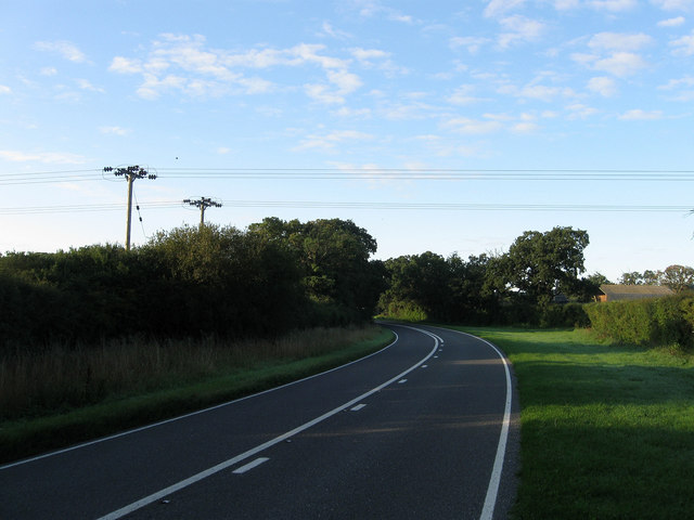
Image: © Simon Carey Taken: 28 Aug 2010
The section of the A281 between Chates Cottage and Chates Farm, one of whose barns can be seen in the distance beyond the hedgerow. The road is an ancient route originally linking the manor of Upper Beeding with its Wealden pastures around what became Lower Beeding.
Images are licensed for reuse under creativecommons.org/licenses/by-sa/2.0
Image Location
Latitude
50.980215
Longitude
-0.278422