Union Jack Farm Shop
Introduction
The photograph on this page of Union Jack Farm Shop by Simon Carey as part of the Geograph project.
The Geograph project started in 2005 with the aim of publishing, organising and preserving representative images for every square kilometre of Great Britain, Ireland and the Isle of Man.

There are currently over 7.5m images from over 14,400 individuals and you can help contribute to the project by visiting https://www.geograph.org.uk
Union Jack Farm Shop
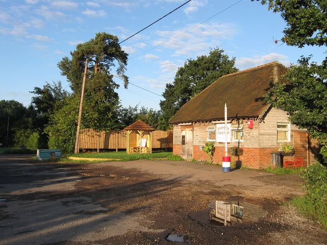
Image: © Simon Carey Taken: 28 Aug 2010
Located on Henfield Road, the A281, just to the south of the village of Cowfold, selling local meat, fruit & veg, cheeses, bread and cider.
Images are licensed for reuse under creativecommons.org/licenses/by-sa/2.0
Image Location
Latitude
50.981647
Longitude
-0.277942