Broadside water treatment works
Introduction
The photograph on this page of Broadside water treatment works by Robert Murray as part of the Geograph project.
The Geograph project started in 2005 with the aim of publishing, organising and preserving representative images for every square kilometre of Great Britain, Ireland and the Isle of Man.

There are currently over 7.5m images from over 14,400 individuals and you can help contribute to the project by visiting https://www.geograph.org.uk
Broadside water treatment works
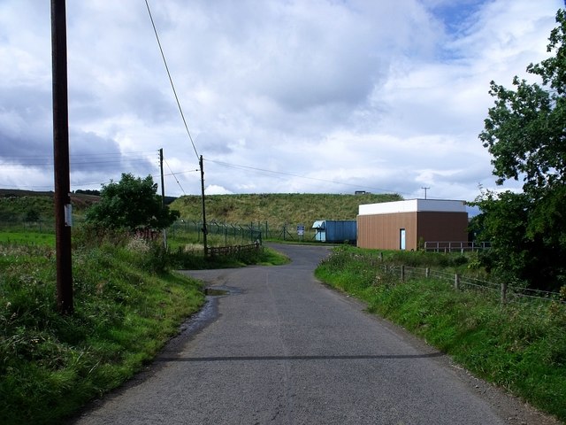
Image: © Robert Murray Taken: 28 Aug 2010
The road here looks like going into the water works but there is a left turn into Broadside farm and a right turn northwards to the Denny - Fintry road (B818). There is a large water treatment complex behind the fences, part of which may be redundant, superseded by a modern installation further down the hill.
Images are licensed for reuse under creativecommons.org/licenses/by-sa/2.0
Image Location
Latitude
56.026967
Longitude
-3.973609