The old route of Westfield Sole Road
Introduction
The photograph on this page of The old route of Westfield Sole Road by Chris Whippet as part of the Geograph project.
The Geograph project started in 2005 with the aim of publishing, organising and preserving representative images for every square kilometre of Great Britain, Ireland and the Isle of Man.

There are currently over 7.5m images from over 14,400 individuals and you can help contribute to the project by visiting https://www.geograph.org.uk
The old route of Westfield Sole Road
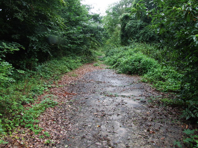
Image: © Chris Whippet Taken: 27 Aug 2010
This stretch of Westfield Sole Road used to lead to a T-junction with Boxley Road and Harp Farm Road before being by-passed after the construction of the roundabout around 1984.
Images are licensed for reuse under creativecommons.org/licenses/by-sa/2.0
Image Location
Latitude
51.326022
Longitude
0.544336