The view from the SW edge of Hengoed railway station
Introduction
The photograph on this page of The view from the SW edge of Hengoed railway station by Jaggery as part of the Geograph project.
The Geograph project started in 2005 with the aim of publishing, organising and preserving representative images for every square kilometre of Great Britain, Ireland and the Isle of Man.

There are currently over 7.5m images from over 14,400 individuals and you can help contribute to the project by visiting https://www.geograph.org.uk
The view from the SW edge of Hengoed railway station
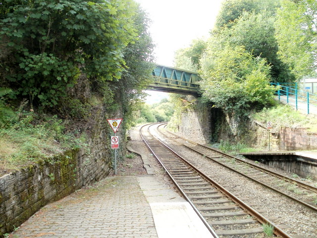
Image: © Jaggery Taken: 27 Aug 2010
Hengoed station is part of the Rhymney Line of the Valley Lines network. The next station is this direction is Ystrad Mynach. The bridge carries National Cycle Network route 47, formerly the track of the line that went through now-demolished Hengoed High Level station and across a viaduct. http://www.geograph.org.uk/photo/2036662
Images are licensed for reuse under creativecommons.org/licenses/by-sa/2.0
Image Location
Latitude
51.645579
Longitude
-3.226969