Exe Hill
Introduction
The photograph on this page of Exe Hill by Richard Dorrell as part of the Geograph project.
The Geograph project started in 2005 with the aim of publishing, organising and preserving representative images for every square kilometre of Great Britain, Ireland and the Isle of Man.

There are currently over 7.5m images from over 14,400 individuals and you can help contribute to the project by visiting https://www.geograph.org.uk
Exe Hill
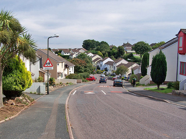
Image: © Richard Dorrell Taken: 27 Aug 2010
A smart housing development on the western edge of Torbay. The road has 'traffic calming' speed humps every hundred metres or so throughout its length.
Images are licensed for reuse under creativecommons.org/licenses/by-sa/2.0
Image Location
Latitude
50.479062
Longitude
-3.571132