Housing on Garston Lane
Introduction
The photograph on this page of Housing on Garston Lane by Bill Nicholls as part of the Geograph project.
The Geograph project started in 2005 with the aim of publishing, organising and preserving representative images for every square kilometre of Great Britain, Ireland and the Isle of Man.

There are currently over 7.5m images from over 14,400 individuals and you can help contribute to the project by visiting https://www.geograph.org.uk
Housing on Garston Lane
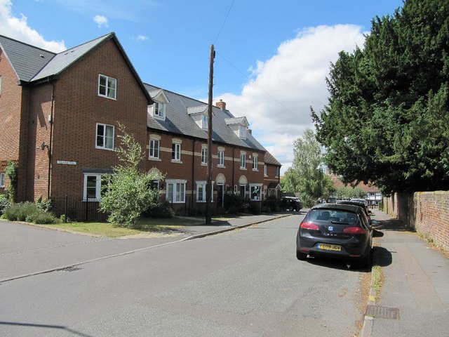
Image: © Bill Nicholls Taken: 24 Jul 2010
The housing here on the left here along Garston Lane used to be part of the old school playing field. The school itself was around where the far end of the block is from what my wife told me.
Images are licensed for reuse under creativecommons.org/licenses/by-sa/2.0
Image Location
Latitude
51.589624
Longitude
-1.425024