Baker's Shaw
Introduction
The photograph on this page of Baker's Shaw by Simon Carey as part of the Geograph project.
The Geograph project started in 2005 with the aim of publishing, organising and preserving representative images for every square kilometre of Great Britain, Ireland and the Isle of Man.

There are currently over 7.5m images from over 14,400 individuals and you can help contribute to the project by visiting https://www.geograph.org.uk
Baker's Shaw
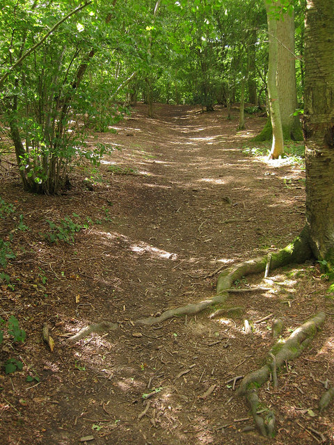
Image: © Simon Carey Taken: 24 Aug 2010
Following the footpath to Cowfold as it travels through this small wood.
Images are licensed for reuse under creativecommons.org/licenses/by-sa/2.0
Image Location
Latitude
50.994207
Longitude
-0.275909