Whitegate Wood, Hempstead
Introduction
The photograph on this page of Whitegate Wood, Hempstead by Chris Whippet as part of the Geograph project.
The Geograph project started in 2005 with the aim of publishing, organising and preserving representative images for every square kilometre of Great Britain, Ireland and the Isle of Man.

There are currently over 7.5m images from over 14,400 individuals and you can help contribute to the project by visiting https://www.geograph.org.uk
Whitegate Wood, Hempstead
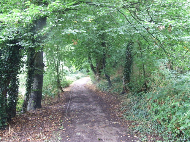
Image: © Chris Whippet Taken: 26 Aug 2010
Literally named after a "white gate" that was at the edge of these woods, this path was originally the southern end of Pine Grove before massive redevelopment in the area in the late 1970s.
Images are licensed for reuse under creativecommons.org/licenses/by-sa/2.0
Image Location
Latitude
51.347402
Longitude
0.574243