Playing fields, Lakers School
Introduction
The photograph on this page of Playing fields, Lakers School by Richard Webb as part of the Geograph project.
The Geograph project started in 2005 with the aim of publishing, organising and preserving representative images for every square kilometre of Great Britain, Ireland and the Isle of Man.

There are currently over 7.5m images from over 14,400 individuals and you can help contribute to the project by visiting https://www.geograph.org.uk
Playing fields, Lakers School
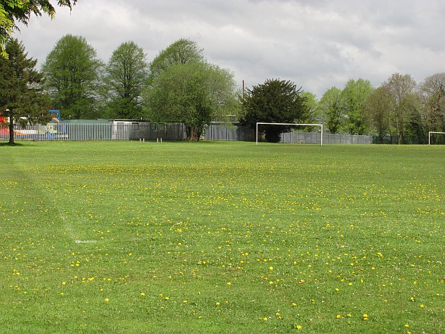
Image: © Richard Webb Taken: 3 May 2010
Not the sort of goal posts you expect in Berry Hill. Bus garage beyond.
Images are licensed for reuse under creativecommons.org/licenses/by-sa/2.0
Image Location
Latitude
51.809184
Longitude
-2.611321