The Furze Field
Introduction
The photograph on this page of The Furze Field by Simon Carey as part of the Geograph project.
The Geograph project started in 2005 with the aim of publishing, organising and preserving representative images for every square kilometre of Great Britain, Ireland and the Isle of Man.

There are currently over 7.5m images from over 14,400 individuals and you can help contribute to the project by visiting https://www.geograph.org.uk
The Furze Field
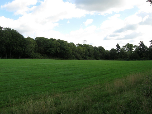
Image: © Simon Carey Taken: 24 Aug 2010
The name of the field according to the 1840 tithe map that has been extended to include Wood Mead and Stone Pit to the west, though this extension is relatively recent having happened in the last thirty five years. Northfield Wood provides the northern boundary to this field.
Images are licensed for reuse under creativecommons.org/licenses/by-sa/2.0
Image Location
Latitude
51.001623
Longitude
-0.27877