Former High Church
Introduction
The photograph on this page of Former High Church by Thomas Nugent as part of the Geograph project.
The Geograph project started in 2005 with the aim of publishing, organising and preserving representative images for every square kilometre of Great Britain, Ireland and the Isle of Man.

There are currently over 7.5m images from over 14,400 individuals and you can help contribute to the project by visiting https://www.geograph.org.uk
Former High Church
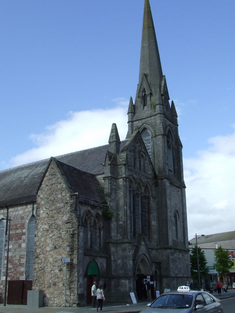
Image: © Thomas Nugent Taken: 21 Aug 2010
A Category B listed building on High Street by the old bridge. Built in 1863 to a design by John Honeyman. Now a shopping and leisure centre.
Images are licensed for reuse under creativecommons.org/licenses/by-sa/2.0
Image Location
Latitude
55.944
Longitude
-4.573472