Meadow near Firs Way
Introduction
The photograph on this page of Meadow near Firs Way by Derek Harper as part of the Geograph project.
The Geograph project started in 2005 with the aim of publishing, organising and preserving representative images for every square kilometre of Great Britain, Ireland and the Isle of Man.

There are currently over 7.5m images from over 14,400 individuals and you can help contribute to the project by visiting https://www.geograph.org.uk
Meadow near Firs Way
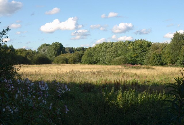
Image: © Derek Harper Taken: 18 Aug 2010
This looks like the same view as Image, a little later in the summer. A drainage ditch runs along this side of the trees on the right, with Firs Way behind them.
Images are licensed for reuse under creativecommons.org/licenses/by-sa/2.0
Image Location
Latitude
53.416149
Longitude
-2.364062