Bridge, Stamford Brook
Introduction
The photograph on this page of Bridge, Stamford Brook by Derek Harper as part of the Geograph project.
The Geograph project started in 2005 with the aim of publishing, organising and preserving representative images for every square kilometre of Great Britain, Ireland and the Isle of Man.

There are currently over 7.5m images from over 14,400 individuals and you can help contribute to the project by visiting https://www.geograph.org.uk
Bridge, Stamford Brook
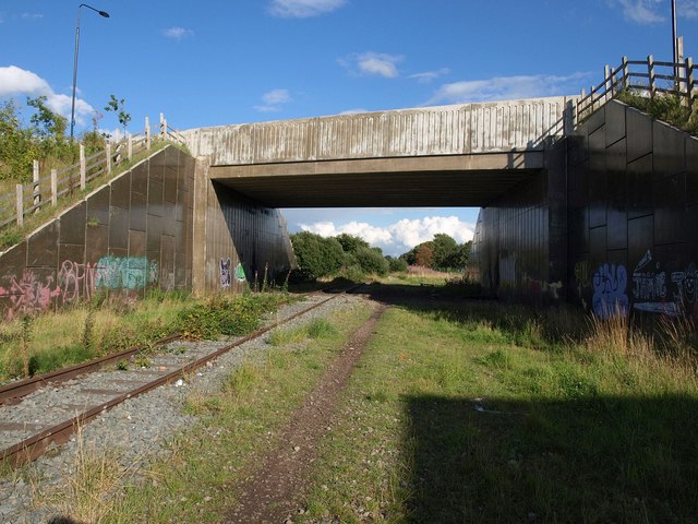
Image: © Derek Harper Taken: 18 Aug 2010
The bridge carries Turnbull Road into the new housing development of Stamford Brook. The shadow in the right foreground is of the new Waitrose shown in Image
Images are licensed for reuse under creativecommons.org/licenses/by-sa/2.0
Image Location
Latitude
53.405816
Longitude
-2.36277