Houses Near The Sanctum
Introduction
The photograph on this page of Houses Near The Sanctum by Des Blenkinsopp as part of the Geograph project.
The Geograph project started in 2005 with the aim of publishing, organising and preserving representative images for every square kilometre of Great Britain, Ireland and the Isle of Man.

There are currently over 7.5m images from over 14,400 individuals and you can help contribute to the project by visiting https://www.geograph.org.uk
Houses Near The Sanctum
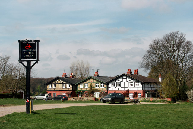
Image: © Des Blenkinsopp Taken: 25 Mar 2010
These three rather chalet looking houses are at the top end of the green at Cookham Dean. The quirkily named Sanctum on the Green is off to the left.
Images are licensed for reuse under creativecommons.org/licenses/by-sa/2.0
Image Location
Latitude
51.561038
Longitude
-0.745205