Track to Poplar Farm Cottages
Introduction
The photograph on this page of Track to Poplar Farm Cottages by Philip Halling as part of the Geograph project.
The Geograph project started in 2005 with the aim of publishing, organising and preserving representative images for every square kilometre of Great Britain, Ireland and the Isle of Man.

There are currently over 7.5m images from over 14,400 individuals and you can help contribute to the project by visiting https://www.geograph.org.uk
Track to Poplar Farm Cottages
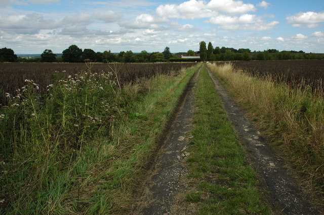
Image: © Philip Halling Taken: 22 Aug 2010
This track through a field of broad beans is a bridleway and also the route of the Wychavon Way, a path promoted by the Wychavon District Council, it used to start from the River Severn at Holt Fleet and end at Winchcombe in Gloucestershire, recently it has been rerouted from Droitwich to Broadway and therefore is now wholly in the area serviced by Wychavon council.
Images are licensed for reuse under creativecommons.org/licenses/by-sa/2.0
Image Location
Latitude
52.135968
Longitude
-1.9795