Roman & Medieval city wall
Introduction
The photograph on this page of Roman & Medieval city wall by Row17 as part of the Geograph project.
The Geograph project started in 2005 with the aim of publishing, organising and preserving representative images for every square kilometre of Great Britain, Ireland and the Isle of Man.

There are currently over 7.5m images from over 14,400 individuals and you can help contribute to the project by visiting https://www.geograph.org.uk
Roman & Medieval city wall
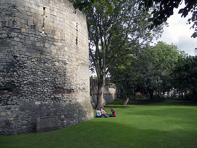
Image: © Row17 Taken: 3 Aug 2010
The 'red' bricks in the wall indicate that this part is Roman. The 'regular' cut stone above the Roman section are Medieval.
Images are licensed for reuse under creativecommons.org/licenses/by-sa/2.0
Image Location
Latitude
53.963904
Longitude
-1.09412