Newport : east side of lower Caerau Road
Introduction
The photograph on this page of Newport : east side of lower Caerau Road by Jaggery as part of the Geograph project.
The Geograph project started in 2005 with the aim of publishing, organising and preserving representative images for every square kilometre of Great Britain, Ireland and the Isle of Man.

There are currently over 7.5m images from over 14,400 individuals and you can help contribute to the project by visiting https://www.geograph.org.uk
Newport : east side of lower Caerau Road
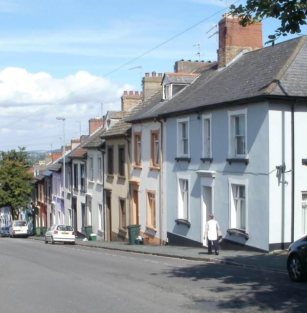
Image: © Jaggery Taken: 22 Aug 2010
There is a big contrast between opposite sides of the lower part of Caerau Road. The east side shown here consists of a long row of houses set close to the roadway. Compare with the spacious layout across the street. http://www.geograph.org.uk/photo/2031265
Images are licensed for reuse under creativecommons.org/licenses/by-sa/2.0
Image Location
Latitude
51.585651
Longitude
-3.004516