Approaching Walberton
Introduction
The photograph on this page of Approaching Walberton by Peter Holmes as part of the Geograph project.
The Geograph project started in 2005 with the aim of publishing, organising and preserving representative images for every square kilometre of Great Britain, Ireland and the Isle of Man.

There are currently over 7.5m images from over 14,400 individuals and you can help contribute to the project by visiting https://www.geograph.org.uk
Approaching Walberton
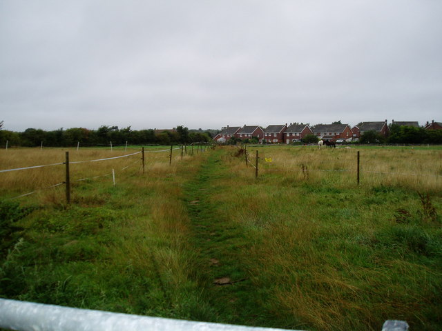
Image: © Peter Holmes Taken: 21 Aug 2010
Footpath 326 proceeds between paddocks.
Images are licensed for reuse under creativecommons.org/licenses/by-sa/2.0
Image Location
Latitude
50.842964
Longitude
-0.62281