2010 : North east from Wick Lane
Introduction
The photograph on this page of 2010 : North east from Wick Lane by Maurice Pullin as part of the Geograph project.
The Geograph project started in 2005 with the aim of publishing, organising and preserving representative images for every square kilometre of Great Britain, Ireland and the Isle of Man.

There are currently over 7.5m images from over 14,400 individuals and you can help contribute to the project by visiting https://www.geograph.org.uk
2010 : North east from Wick Lane
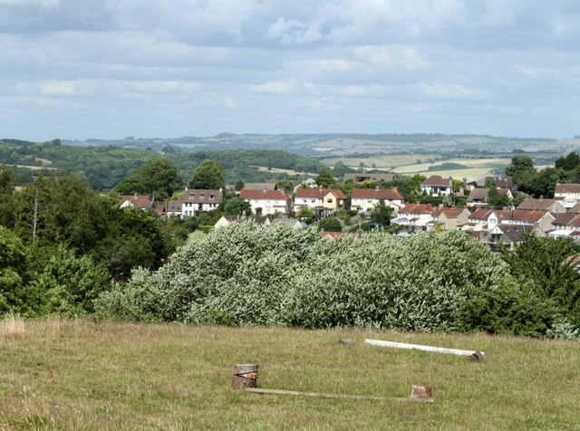
Image: © Maurice Pullin Taken: 5 Jul 2010
A field apparently used for exercising horses, then a view of part of Pensford. Lansdown near Bath is on the horizon.
Images are licensed for reuse under creativecommons.org/licenses/by-sa/2.0
Image Location
Latitude
51.36684
Longitude
-2.549819