View up Swannington Incline
Introduction
The photograph on this page of View up Swannington Incline by Richard Green as part of the Geograph project.
The Geograph project started in 2005 with the aim of publishing, organising and preserving representative images for every square kilometre of Great Britain, Ireland and the Isle of Man.

There are currently over 7.5m images from over 14,400 individuals and you can help contribute to the project by visiting https://www.geograph.org.uk
View up Swannington Incline
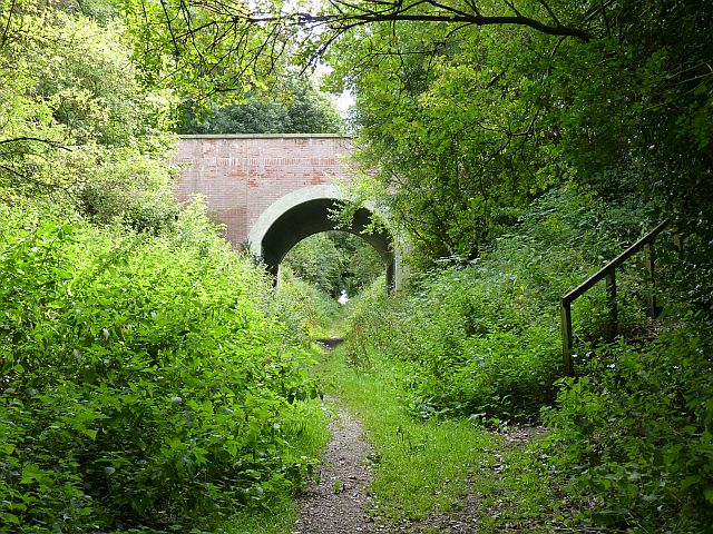
Image: © Richard Green Taken: 19 Aug 2010
The view up the former Swannington incline, with Church Lane bridge in the foreground. The single track cable operated incline rose at a gradient of 1 in 17, and closed in 1947.
Images are licensed for reuse under creativecommons.org/licenses/by-sa/2.0
Image Location
Latitude
52.741659
Longitude
-1.381163