East End Railway
Introduction
The photograph on this page of East End Railway by Michael Patterson as part of the Geograph project.
The Geograph project started in 2005 with the aim of publishing, organising and preserving representative images for every square kilometre of Great Britain, Ireland and the Isle of Man.

There are currently over 7.5m images from over 14,400 individuals and you can help contribute to the project by visiting https://www.geograph.org.uk
East End Railway
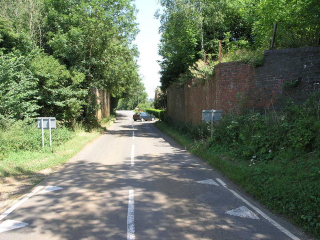
Image: © Michael Patterson Taken: 12 Jul 2006
This former bridge once carried the railway from Hook Norton towards the east. The former station was just to the right.
Images are licensed for reuse under creativecommons.org/licenses/by-sa/2.0
Image Location
Latitude
51.999662
Longitude
-1.472663