Restricting access
Introduction
The photograph on this page of Restricting access by Christine Johnstone as part of the Geograph project.
The Geograph project started in 2005 with the aim of publishing, organising and preserving representative images for every square kilometre of Great Britain, Ireland and the Isle of Man.

There are currently over 7.5m images from over 14,400 individuals and you can help contribute to the project by visiting https://www.geograph.org.uk
Restricting access
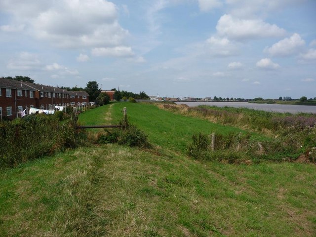
Image: © Christine Johnstone Taken: 15 Aug 2010
The bar is designed to stop motorbikes using the footpath along the flood bank at Old Goole.
Images are licensed for reuse under creativecommons.org/licenses/by-sa/2.0
Image Location


Leaflet Map data © OpenStreetMap
Latitude
53.69365
Longitude
-0.86473