Clappers Lane
Introduction
The photograph on this page of Clappers Lane by Simon Carey as part of the Geograph project.
The Geograph project started in 2005 with the aim of publishing, organising and preserving representative images for every square kilometre of Great Britain, Ireland and the Isle of Man.

There are currently over 7.5m images from over 14,400 individuals and you can help contribute to the project by visiting https://www.geograph.org.uk
Clappers Lane
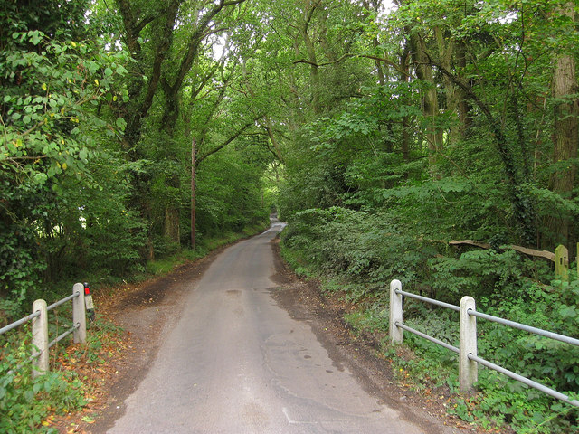
Image: © Simon Carey Taken: 16 Aug 2010
Viewed from the junction with Holmbush Lane. The single track lane heads south to Fulking and is an old droving route of some antiquity with it forming the parish boundary between Poynings on the left and Fulking (Formerly Edburton) on the right.
Images are licensed for reuse under creativecommons.org/licenses/by-sa/2.0
Image Location
Latitude
50.9107
Longitude
-0.224516