Raised Pavement, Robertsbridge
Introduction
The photograph on this page of Raised Pavement, Robertsbridge by Colin Smith as part of the Geograph project.
The Geograph project started in 2005 with the aim of publishing, organising and preserving representative images for every square kilometre of Great Britain, Ireland and the Isle of Man.

There are currently over 7.5m images from over 14,400 individuals and you can help contribute to the project by visiting https://www.geograph.org.uk
Raised Pavement, Robertsbridge
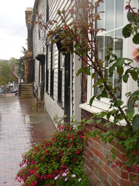
Image: © Colin Smith Taken: 14 Aug 2010
On the east side of the main street, the pavement is a good 3 feet above the roadway. Old buildings line, brick, stone and wood, line the scenic street which once bore the brunt of Hastings-London traffic. .http://robertsbridge.east-sussex.co.uk/
Images are licensed for reuse under creativecommons.org/licenses/by-sa/2.0
Image Location
Latitude
50.984847
Longitude
0.474905