Hawes Telephone Exchange (1)
Introduction
The photograph on this page of Hawes Telephone Exchange (1) by David Hillas as part of the Geograph project.
The Geograph project started in 2005 with the aim of publishing, organising and preserving representative images for every square kilometre of Great Britain, Ireland and the Isle of Man.

There are currently over 7.5m images from over 14,400 individuals and you can help contribute to the project by visiting https://www.geograph.org.uk
Hawes Telephone Exchange (1)
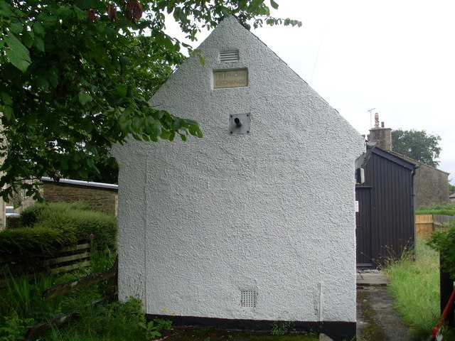
Image: © David Hillas Taken: 14 Jul 2010
Situated in Hardraw Road in the village centre, this TE has the code NEHAS and serves 726 residential and 88 non-residential premises in Hawes and the surrounding rural area. Both buildings appear to be in use, the front one dating at least from the GPO era. It has (01969) 667xxx numbers and its postcode is DL8 3QA. Since this photo was taken, a large brown ventilation louvre has been fitted to the front of the white building, https://www.geograph.org.uk/photo/5576967 refers.
Images are licensed for reuse under creativecommons.org/licenses/by-sa/2.0
Image Location


Leaflet Map data © OpenStreetMap
Latitude
54.304368
Longitude
-2.194365