A39 Towards Kernick Roundabout
Introduction
The photograph on this page of A39 Towards Kernick Roundabout by David Dixon as part of the Geograph project.
The Geograph project started in 2005 with the aim of publishing, organising and preserving representative images for every square kilometre of Great Britain, Ireland and the Isle of Man.

There are currently over 7.5m images from over 14,400 individuals and you can help contribute to the project by visiting https://www.geograph.org.uk
A39 Towards Kernick Roundabout
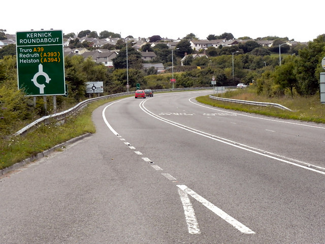
Image: © David Dixon Taken: 30 Jul 2010
The A39, looking uphill towards the Kernick roundabout, from the lay-by above College Reservoir.
Images are licensed for reuse under creativecommons.org/licenses/by-sa/2.0
Image Location
Latitude
50.163234
Longitude
-5.125392