Tod Point Road, Warrenby
Introduction
The photograph on this page of Tod Point Road, Warrenby by Philip Barker as part of the Geograph project.
The Geograph project started in 2005 with the aim of publishing, organising and preserving representative images for every square kilometre of Great Britain, Ireland and the Isle of Man.

There are currently over 7.5m images from over 14,400 individuals and you can help contribute to the project by visiting https://www.geograph.org.uk
Tod Point Road, Warrenby
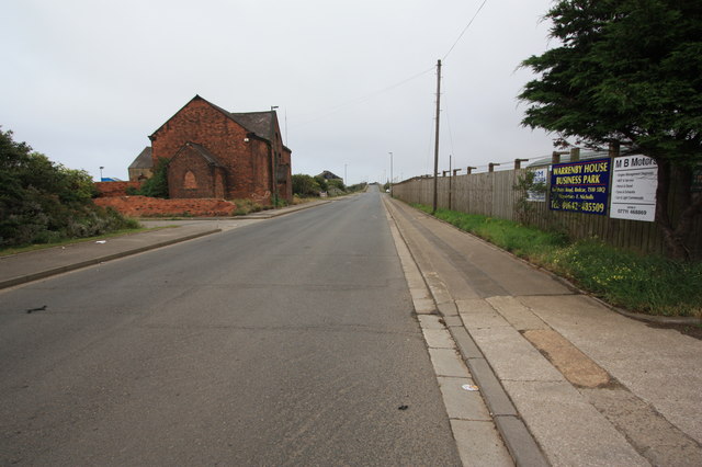
Image: © Philip Barker Taken: 14 Aug 2010
This photograph shows a view of a section of Tod Point Road in Warrenby. The road runs between Tod Point (behind the photographer) and York Road in Redcar (ahead). The spire of Redcar Church can just be seen in the right-hand side of the picture; the railway bridge over the (now disused) railway is also visible. The picture was taken looking in a easterly direction towards Redcar Central Station.
Images are licensed for reuse under creativecommons.org/licenses/by-sa/2.0
Image Location
Latitude
54.616957
Longitude
-1.096402