Road junction, Ottery St Mary
Introduction
The photograph on this page of Road junction, Ottery St Mary by Derek Harper as part of the Geograph project.
The Geograph project started in 2005 with the aim of publishing, organising and preserving representative images for every square kilometre of Great Britain, Ireland and the Isle of Man.

There are currently over 7.5m images from over 14,400 individuals and you can help contribute to the project by visiting https://www.geograph.org.uk
Road junction, Ottery St Mary
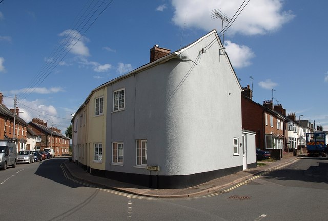
Image: © Derek Harper Taken: 13 Aug 2010
On the left is the B3317, North Street, about to leave the town. On the right is Ridgeway, which eventually becomes a green lane and then a footpath to Holcombe Barton. The rounded corner of the house echoes the junction pleasingly.
Images are licensed for reuse under creativecommons.org/licenses/by-sa/2.0
Image Location
Latitude
50.753807
Longitude
-3.277074