Near Toat
Introduction
The photograph on this page of Near Toat by Graham Horn as part of the Geograph project.
The Geograph project started in 2005 with the aim of publishing, organising and preserving representative images for every square kilometre of Great Britain, Ireland and the Isle of Man.

There are currently over 7.5m images from over 14,400 individuals and you can help contribute to the project by visiting https://www.geograph.org.uk
Near Toat
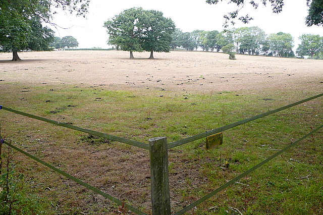
Image: © Graham Horn Taken: 4 Aug 2010
There are many paddocks in the area around Toat Hill. There is a monument on top, almost invisible from nearby but seen more easily from a distance.
Images are licensed for reuse under creativecommons.org/licenses/by-sa/2.0
Image Location
Latitude
50.981489
Longitude
-0.501329