House on Cornhill, Ottery St Mary
Introduction
The photograph on this page of House on Cornhill, Ottery St Mary by Derek Harper as part of the Geograph project.
The Geograph project started in 2005 with the aim of publishing, organising and preserving representative images for every square kilometre of Great Britain, Ireland and the Isle of Man.

There are currently over 7.5m images from over 14,400 individuals and you can help contribute to the project by visiting https://www.geograph.org.uk
House on Cornhill, Ottery St Mary
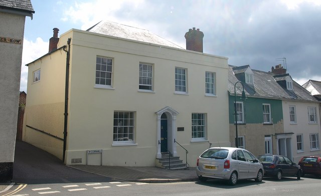
Image: © Derek Harper Taken: 13 Aug 2010
Cornhill House is "C18 or early Cl9" http://www.britishlistedbuildings.co.uk/en-397514-cornhill-house-12-ottery-st-mary and is the topmost house on Cornhill; to the left, as the street name hints, Paternoster Row commences. This is directly opposite Image
Images are licensed for reuse under creativecommons.org/licenses/by-sa/2.0
Image Location
Latitude
50.752625
Longitude
-3.278318