Bircher Common
Introduction
The photograph on this page of Bircher Common by Richard Webb as part of the Geograph project.
The Geograph project started in 2005 with the aim of publishing, organising and preserving representative images for every square kilometre of Great Britain, Ireland and the Isle of Man.

There are currently over 7.5m images from over 14,400 individuals and you can help contribute to the project by visiting https://www.geograph.org.uk
Bircher Common
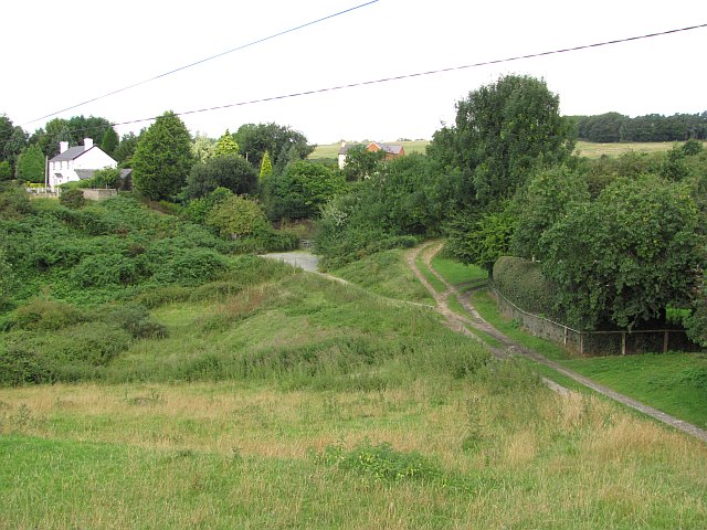
Image: © Richard Webb Taken: 10 Aug 2010
Some of the cottages and former cottages (lots of extensions) that line the lower slopes of Bircher Common, along the spring line. Higher up on the limestone ridge (akin to downland on chalk, here on Silurian mudstones) is often too dry for settlement.
Images are licensed for reuse under creativecommons.org/licenses/by-sa/2.0
Image Location
Latitude
52.291127
Longitude
-2.786985