Sidcup Road Grassland
Introduction
The photograph on this page of Sidcup Road Grassland by Marathon as part of the Geograph project.
The Geograph project started in 2005 with the aim of publishing, organising and preserving representative images for every square kilometre of Great Britain, Ireland and the Isle of Man.

There are currently over 7.5m images from over 14,400 individuals and you can help contribute to the project by visiting https://www.geograph.org.uk
Sidcup Road Grassland
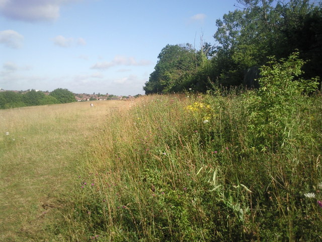
Image: © Marathon Taken: 16 Jul 2010
A footpath runs along the top of the slope here. To the right in a cutting is the railway line between Mottingham and Lee and to the left at the bottom of the slope is the busy A20. Much of the grassland is uncut and there are some attractive wild flowers here in Summer.
Images are licensed for reuse under creativecommons.org/licenses/by-sa/2.0
Image Location
Latitude
51.443982
Longitude
0.035256