Mottingham Sports Ground
Introduction
The photograph on this page of Mottingham Sports Ground by Marathon as part of the Geograph project.
The Geograph project started in 2005 with the aim of publishing, organising and preserving representative images for every square kilometre of Great Britain, Ireland and the Isle of Man.

There are currently over 7.5m images from over 14,400 individuals and you can help contribute to the project by visiting https://www.geograph.org.uk
Mottingham Sports Ground
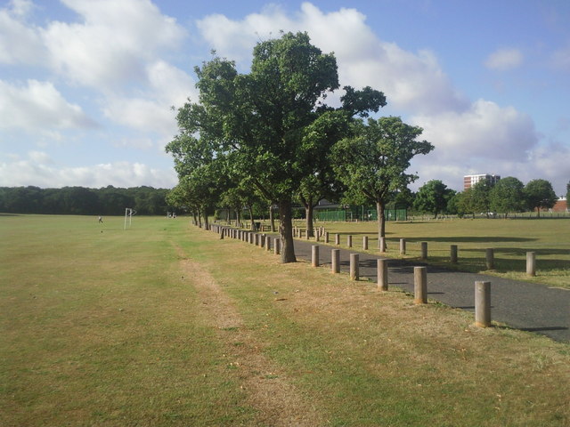
Image: © Marathon Taken: 16 Jul 2010
The Green Chain Walk heads down the tarmac path towards Lower Marvel Wood in the distance.
Images are licensed for reuse under creativecommons.org/licenses/by-sa/2.0
Image Location
Latitude
51.432921
Longitude
0.040376