The Plough, Broomfield
Introduction
The photograph on this page of The Plough, Broomfield by David Anstiss as part of the Geograph project.
The Geograph project started in 2005 with the aim of publishing, organising and preserving representative images for every square kilometre of Great Britain, Ireland and the Isle of Man.

There are currently over 7.5m images from over 14,400 individuals and you can help contribute to the project by visiting https://www.geograph.org.uk
The Plough, Broomfield
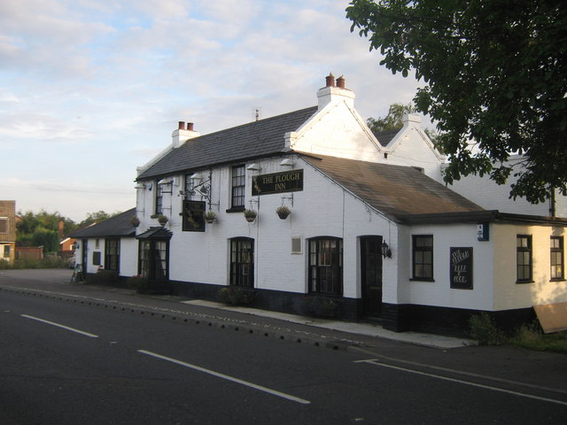
Image: © David Anstiss Taken: 8 Aug 2010
On Margate Road, close to the roundabout junction with Hunters Forstal Road. Note; the Star Sign Pub Sign.
Images are licensed for reuse under creativecommons.org/licenses/by-sa/2.0
Image Location
Latitude
51.358656
Longitude
1.147923