North end of Quorn Road
Introduction
The photograph on this page of North end of Quorn Road by Roger Templeman as part of the Geograph project.
The Geograph project started in 2005 with the aim of publishing, organising and preserving representative images for every square kilometre of Great Britain, Ireland and the Isle of Man.

There are currently over 7.5m images from over 14,400 individuals and you can help contribute to the project by visiting https://www.geograph.org.uk
North end of Quorn Road
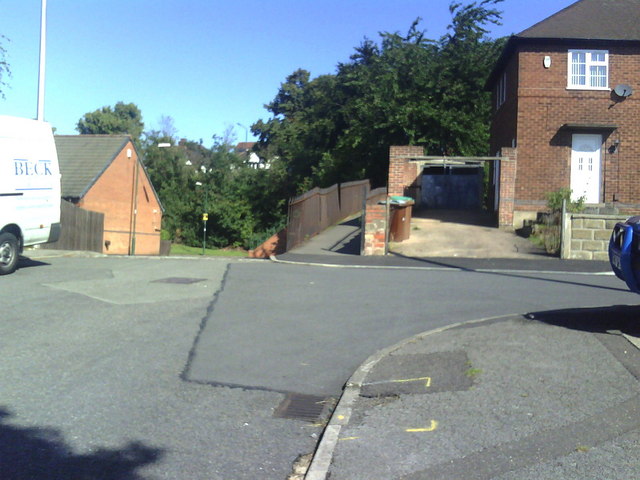
Image: © Roger Templeman Taken: 10 Aug 2010
Junction of Quorn Road, Bagshot Close, Quorn Grove and track with railings leading to Perry Road.
Images are licensed for reuse under creativecommons.org/licenses/by-sa/2.0
Image Location
Latitude
52.981948
Longitude
-1.164834