Manor Farm Country Park
Introduction
The photograph on this page of Manor Farm Country Park by Chris Wimbush as part of the Geograph project.
The Geograph project started in 2005 with the aim of publishing, organising and preserving representative images for every square kilometre of Great Britain, Ireland and the Isle of Man.

There are currently over 7.5m images from over 14,400 individuals and you can help contribute to the project by visiting https://www.geograph.org.uk
Manor Farm Country Park
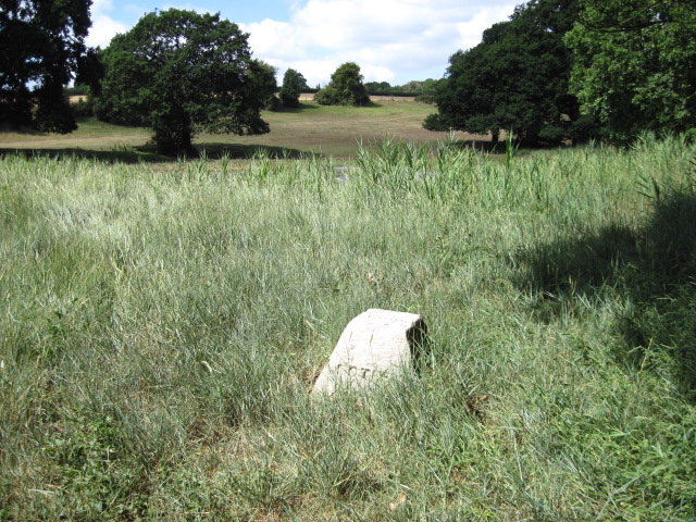
Image: © Chris Wimbush Taken: 9 Aug 2010
The stone is inscribed Botley and Bursledon on opposite sides and 1900 on the top
Images are licensed for reuse under creativecommons.org/licenses/by-sa/2.0
Image Location
Latitude
50.892769
Longitude
-1.297575