Arable farmland east of Worksop
Introduction
The photograph on this page of Arable farmland east of Worksop by Andrew Hill as part of the Geograph project.
The Geograph project started in 2005 with the aim of publishing, organising and preserving representative images for every square kilometre of Great Britain, Ireland and the Isle of Man.

There are currently over 7.5m images from over 14,400 individuals and you can help contribute to the project by visiting https://www.geograph.org.uk
Arable farmland east of Worksop
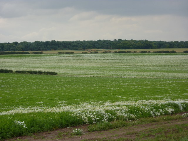
Image: © Andrew Hill Taken: 11 Aug 2010
The view is from a footpath by the edge of the golf course. The crop is carrots with the white flowers of mayweed.
Images are licensed for reuse under creativecommons.org/licenses/by-sa/2.0
Image Location
Latitude
53.315648
Longitude
-1.093791