Path to Worksop
Introduction
The photograph on this page of Path to Worksop by Andrew Hill as part of the Geograph project.
The Geograph project started in 2005 with the aim of publishing, organising and preserving representative images for every square kilometre of Great Britain, Ireland and the Isle of Man.

There are currently over 7.5m images from over 14,400 individuals and you can help contribute to the project by visiting https://www.geograph.org.uk
Path to Worksop
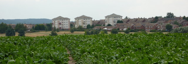
Image: © Andrew Hill Taken: 11 Aug 2010
Beyond the field of beet there is a dip to the golf course before the houses and flats of Worksop at the far edge of the square.
Images are licensed for reuse under creativecommons.org/licenses/by-sa/2.0
Image Location
Latitude
53.319531
Longitude
-1.096111