Trinity Road from its junction with Musley Lane
Introduction
The photograph on this page of Trinity Road from its junction with Musley Lane by Rob Candlish as part of the Geograph project.
The Geograph project started in 2005 with the aim of publishing, organising and preserving representative images for every square kilometre of Great Britain, Ireland and the Isle of Man.

There are currently over 7.5m images from over 14,400 individuals and you can help contribute to the project by visiting https://www.geograph.org.uk
Trinity Road from its junction with Musley Lane
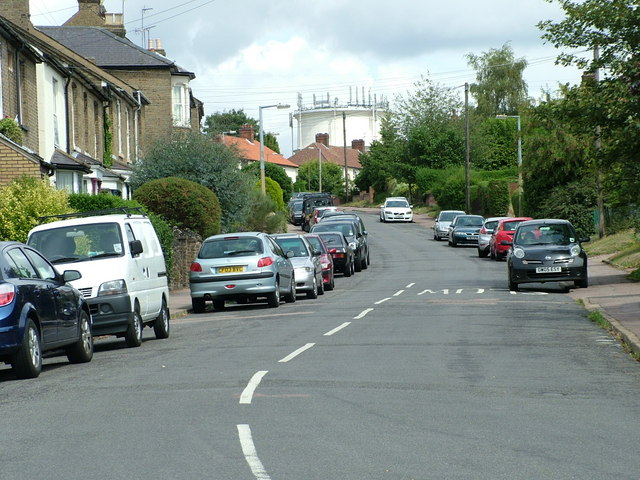
Image: © Rob Candlish Taken: 11 Aug 2010
A view along Trinity Road, Ware looking towards Tower Road, the eponymous feature of which figures prominently in the background.
Images are licensed for reuse under creativecommons.org/licenses/by-sa/2.0
Image Location
Latitude
51.814079
Longitude
-0.025874