Bench mark at Dorket Head Farm
Introduction
The photograph on this page of Bench mark at Dorket Head Farm by Alan Murray-Rust as part of the Geograph project.
The Geograph project started in 2005 with the aim of publishing, organising and preserving representative images for every square kilometre of Great Britain, Ireland and the Isle of Man.

There are currently over 7.5m images from over 14,400 individuals and you can help contribute to the project by visiting https://www.geograph.org.uk
Bench mark at Dorket Head Farm
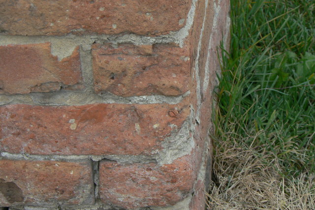
Image: © Alan Murray-Rust Taken: 20 Jul 2010
An extremely worn example due to decaying brickwork which was difficult to locate.
Images are licensed for reuse under creativecommons.org/licenses/by-sa/2.0
Image Location
Latitude
53.022395
Longitude
-1.114408