Ararat English Baptist Church, Whitchurch
Introduction
The photograph on this page of Ararat English Baptist Church, Whitchurch by Eirian Evans as part of the Geograph project.
The Geograph project started in 2005 with the aim of publishing, organising and preserving representative images for every square kilometre of Great Britain, Ireland and the Isle of Man.

There are currently over 7.5m images from over 14,400 individuals and you can help contribute to the project by visiting https://www.geograph.org.uk
Ararat English Baptist Church, Whitchurch
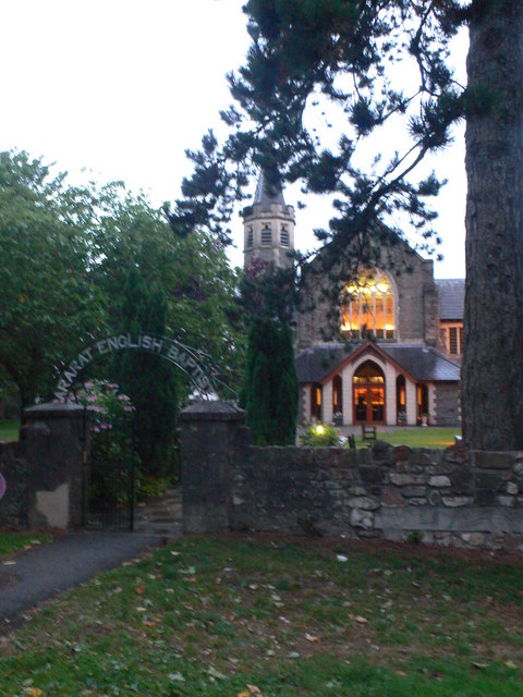
Image: © Eirian Evans Taken: 16 Jul 2010
Designed by William Beddoes Rees who was also a Liberal politician, who represented Bristol South in Parliament.
Images are licensed for reuse under creativecommons.org/licenses/by-sa/2.0
Image Location
Latitude
51.510235
Longitude
-3.211368