Dunvegan Drive
Introduction
The photograph on this page of Dunvegan Drive by Alan Murray-Rust as part of the Geograph project.
The Geograph project started in 2005 with the aim of publishing, organising and preserving representative images for every square kilometre of Great Britain, Ireland and the Isle of Man.

There are currently over 7.5m images from over 14,400 individuals and you can help contribute to the project by visiting https://www.geograph.org.uk
Dunvegan Drive
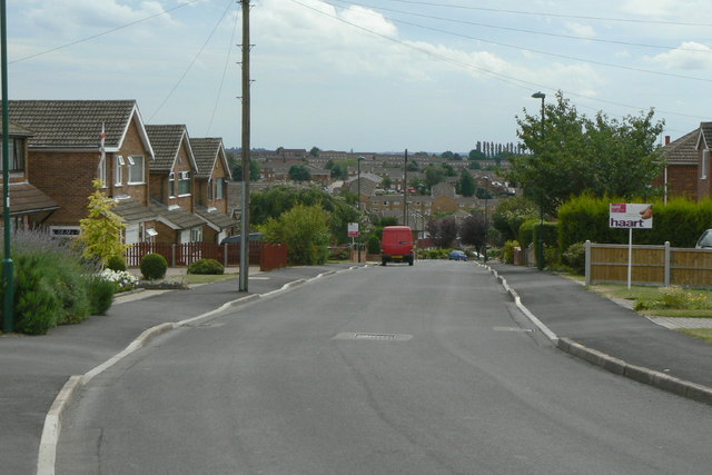
Image: © Alan Murray-Rust Taken: 20 Jul 2010
The eastern end of Rise Park Estate, looking across to Top Valley.
Images are licensed for reuse under creativecommons.org/licenses/by-sa/2.0
Image Location
Latitude
53.012992
Longitude
-1.169154