Pasture at Rising Sun Farm
Introduction
The photograph on this page of Pasture at Rising Sun Farm by Rod Allday as part of the Geograph project.
The Geograph project started in 2005 with the aim of publishing, organising and preserving representative images for every square kilometre of Great Britain, Ireland and the Isle of Man.

There are currently over 7.5m images from over 14,400 individuals and you can help contribute to the project by visiting https://www.geograph.org.uk
Pasture at Rising Sun Farm
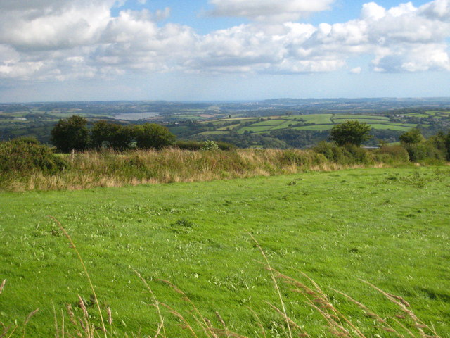
Image: © Rod Allday Taken: 4 Aug 2010
Looking down the Tamar Valley towards Plymouth and the sea in the far distance.
Images are licensed for reuse under creativecommons.org/licenses/by-sa/2.0
Image Location
Latitude
50.516072
Longitude
-4.261866