Field by the Bourne
Introduction
The photograph on this page of Field by the Bourne by Derek Harper as part of the Geograph project.
The Geograph project started in 2005 with the aim of publishing, organising and preserving representative images for every square kilometre of Great Britain, Ireland and the Isle of Man.

There are currently over 7.5m images from over 14,400 individuals and you can help contribute to the project by visiting https://www.geograph.org.uk
Field by the Bourne
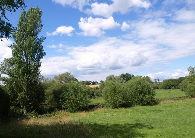
Image: © Derek Harper Taken: 2 Aug 2010
The river runs past the poplar and nearer bushes, though a more winding arm flows beyond. Maps indicate that the Roman Portway crossed this field. It is now crossed by a footpath from Gomeldon to Porton.
Images are licensed for reuse under creativecommons.org/licenses/by-sa/2.0
Image Location
Latitude
51.122812
Longitude
-1.738612