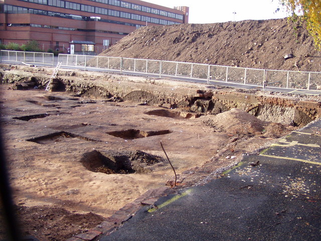
Town Dig, Tipping Street, Stafford
Introduction
The photograph on this page of Town Dig, Tipping Street, Stafford by Liz Taylor as part of the Geograph project.
The Geograph project started in 2005 with the aim of publishing, organising and preserving representative images for every square kilometre of Great Britain, Ireland and the Isle of Man.
There are currently over 7.5m images from over 14,400 individuals and you can help contribute to the project by visiting https://www.geograph.org.uk

Image: © Liz Taylor Taken: Unknown
Before the County Council went ahead with transforming a central car park to their new office blocks, the archaeologists were able to dig a little below the tarmac. The Victorian/Georgian layers were soon dispensed with and the older layers were uncovered, a domestic kiln and a sealed bottle containing a liquid concoction to ward off evil spirits were found, amongst other items.http://www.telegraph.co.uk/news/newstopics/howaboutthat/6256841/Archaeologists-unearth-17th-century-bottle-used-to-scare-off-witches.html

