Old Kilpatrick roofscape
Introduction
The photograph on this page of Old Kilpatrick roofscape by Thomas Nugent as part of the Geograph project.
The Geograph project started in 2005 with the aim of publishing, organising and preserving representative images for every square kilometre of Great Britain, Ireland and the Isle of Man.

There are currently over 7.5m images from over 14,400 individuals and you can help contribute to the project by visiting https://www.geograph.org.uk
Old Kilpatrick roofscape
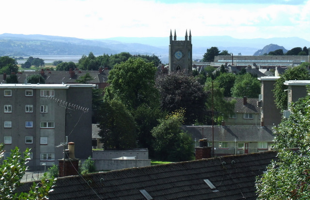
Image: © Thomas Nugent Taken: 7 Aug 2010
Various types of roof on display from the railway bridge at Mount Pleasant Drive. Dumbarton Rock is also visible.
Images are licensed for reuse under creativecommons.org/licenses/by-sa/2.0
Image Location
Latitude
55.926624
Longitude
-4.460577